GIS newbie.
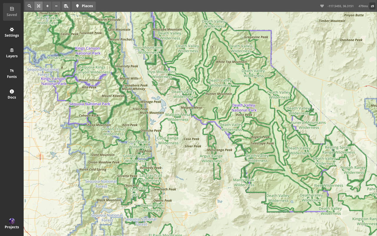
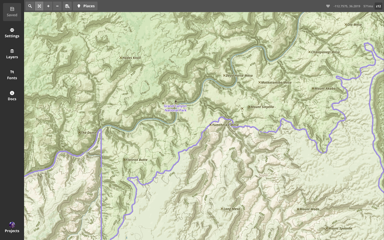
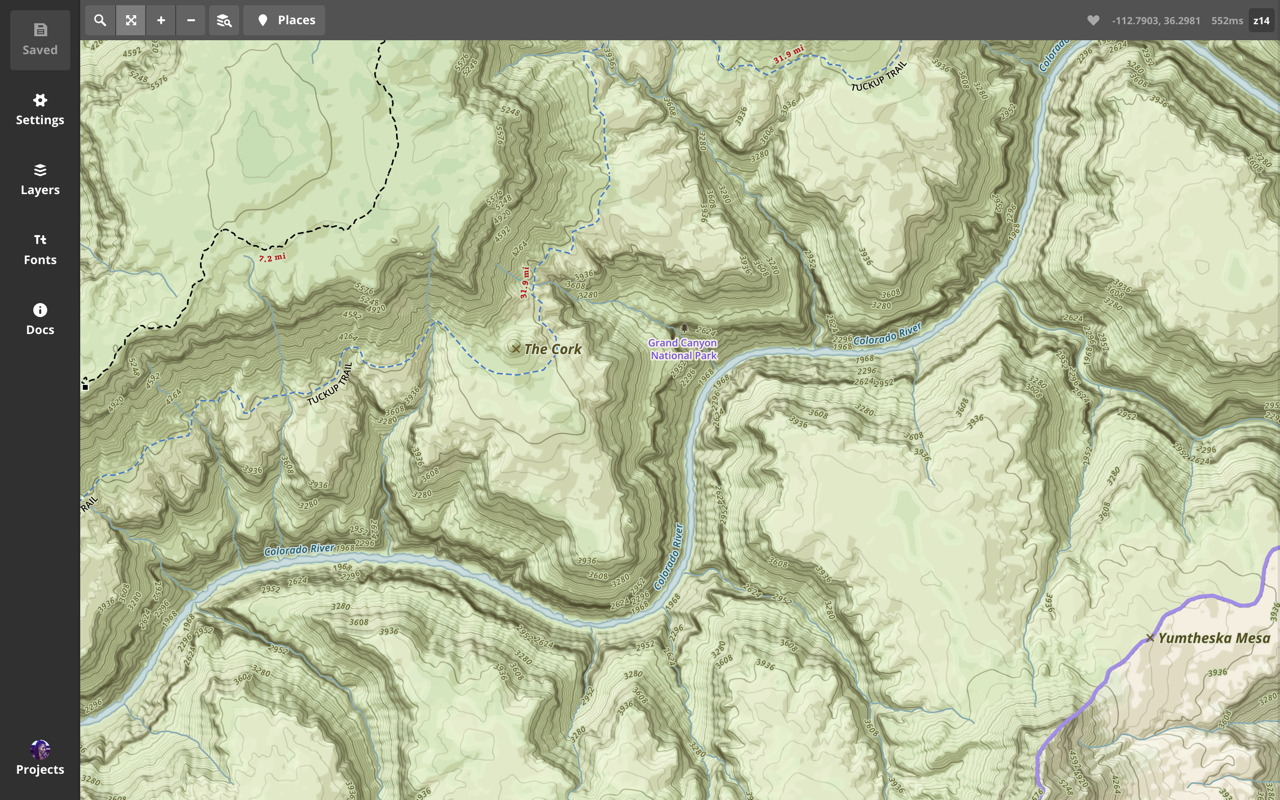
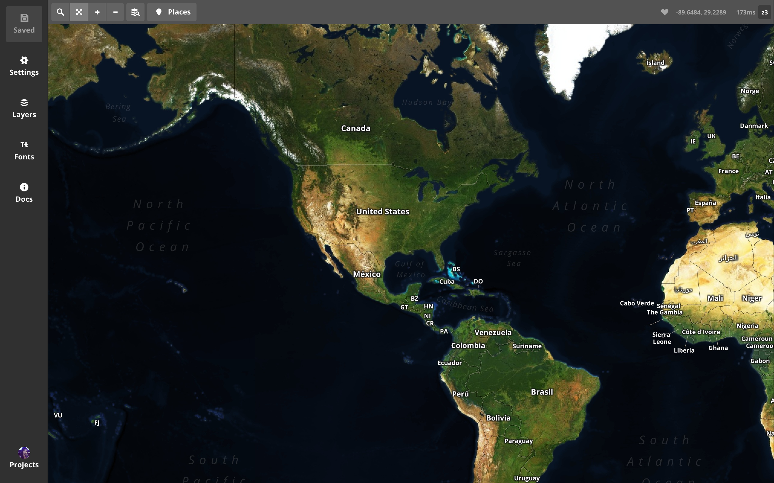
terrain
aesthetic-approach
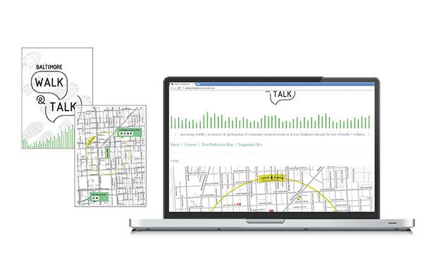
first mapping project...
one
map
for
all.

find and plot data

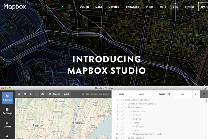
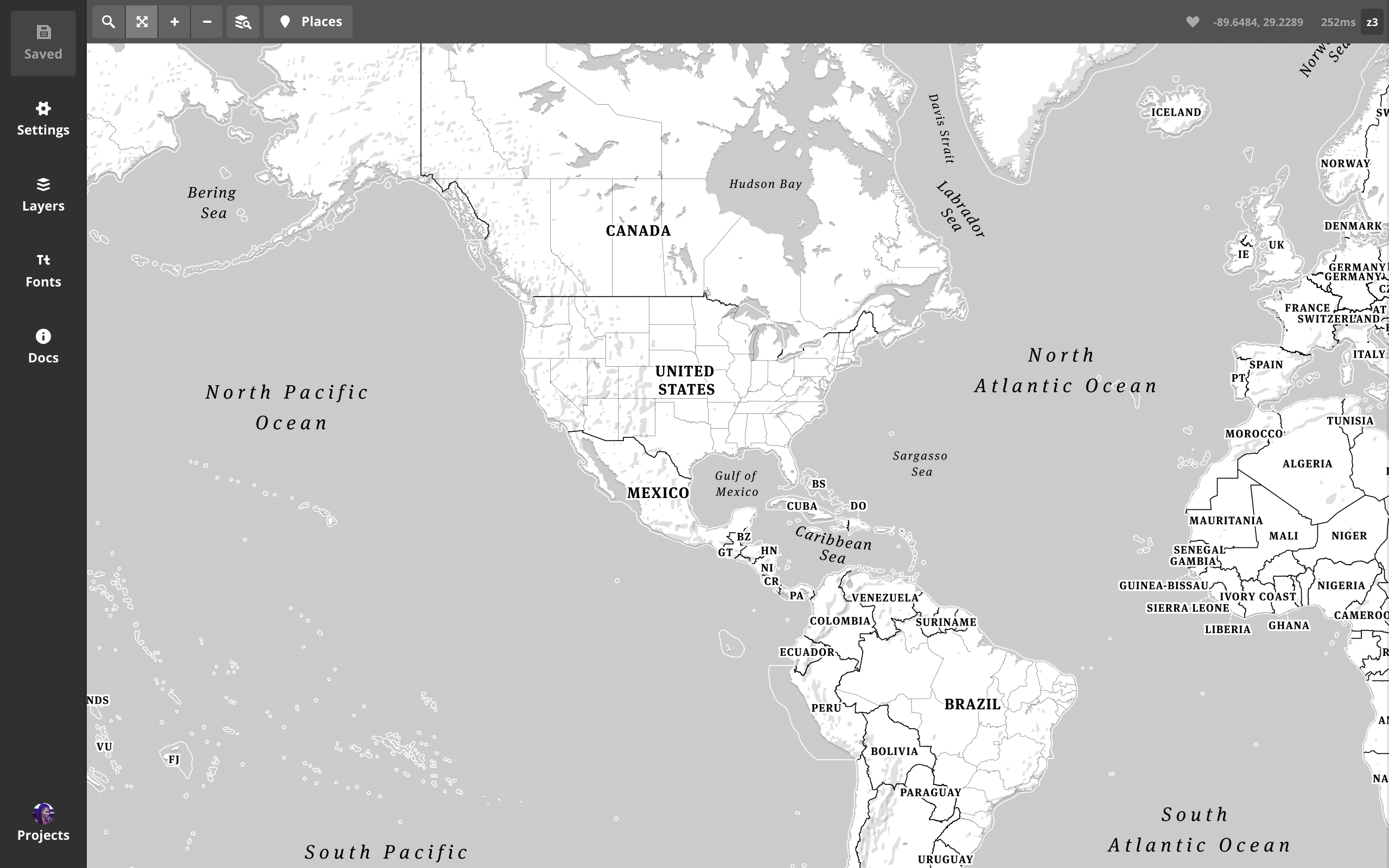
hello
tilemillbiggest hurdles:
no
one
map
for
all.
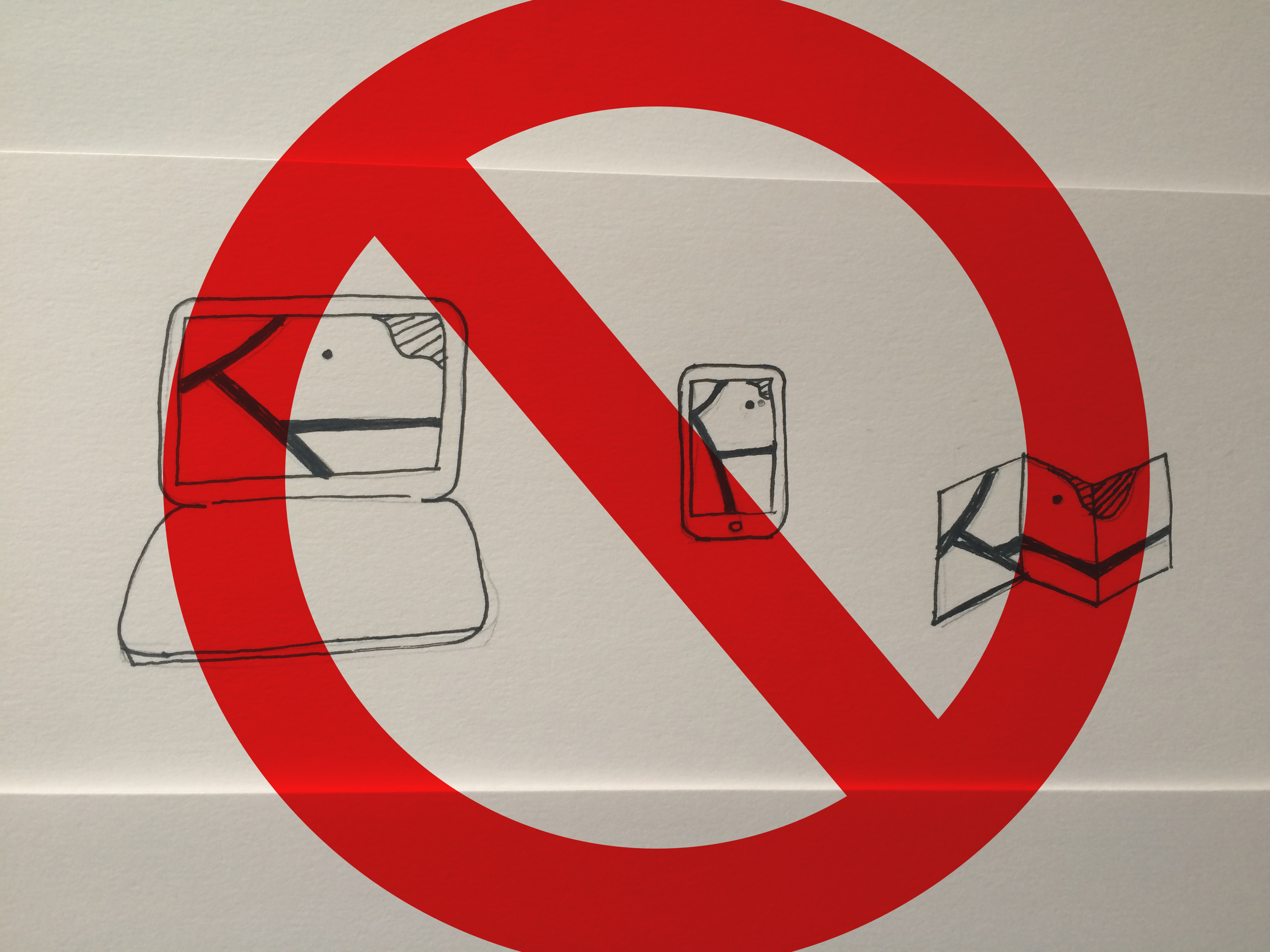
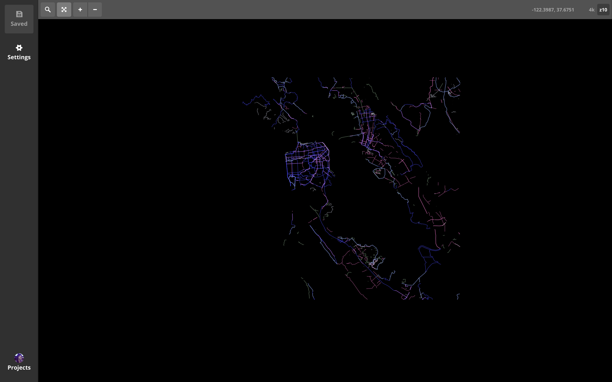
renders slooowly
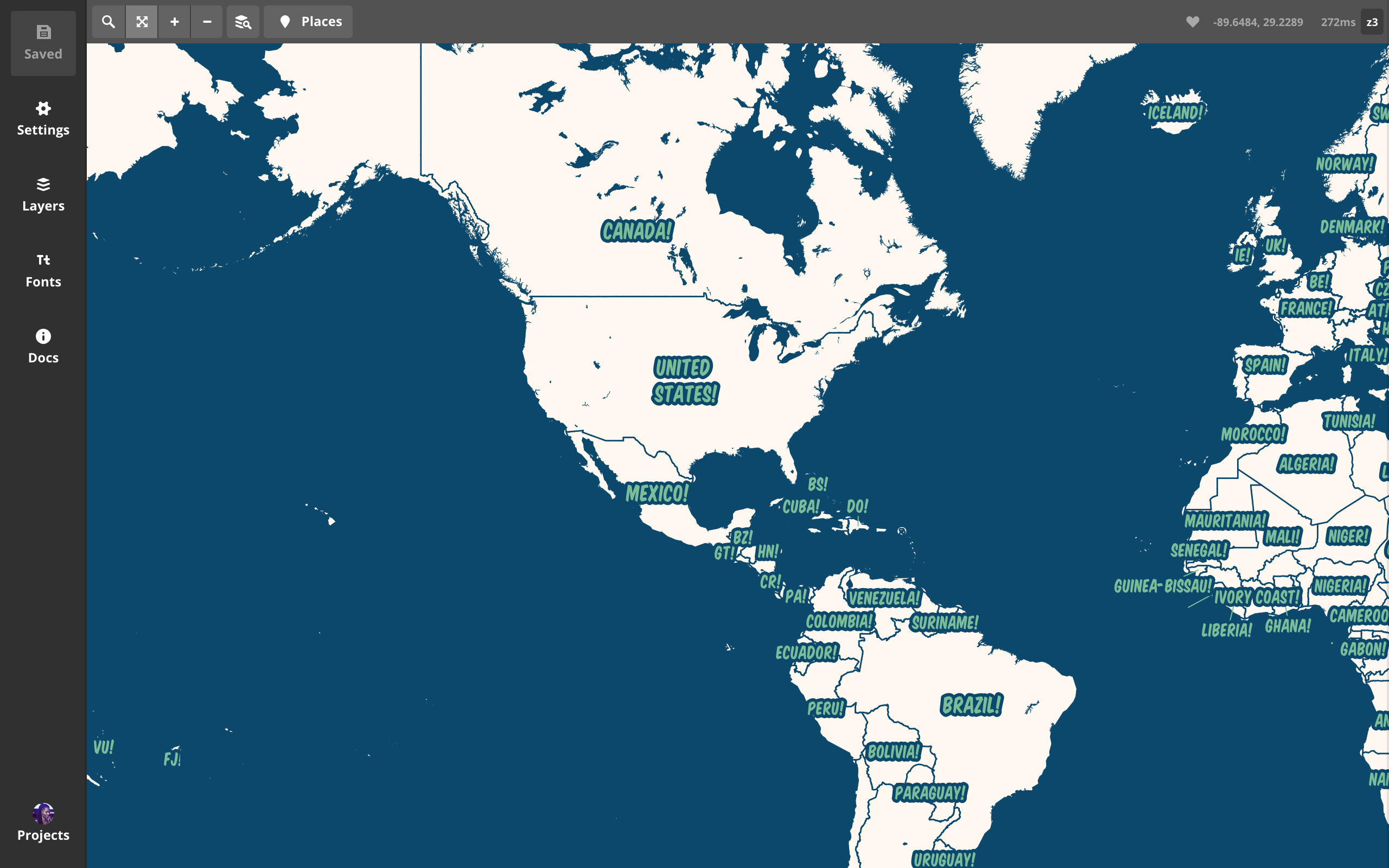
hello
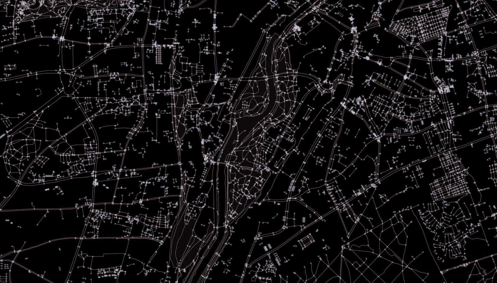
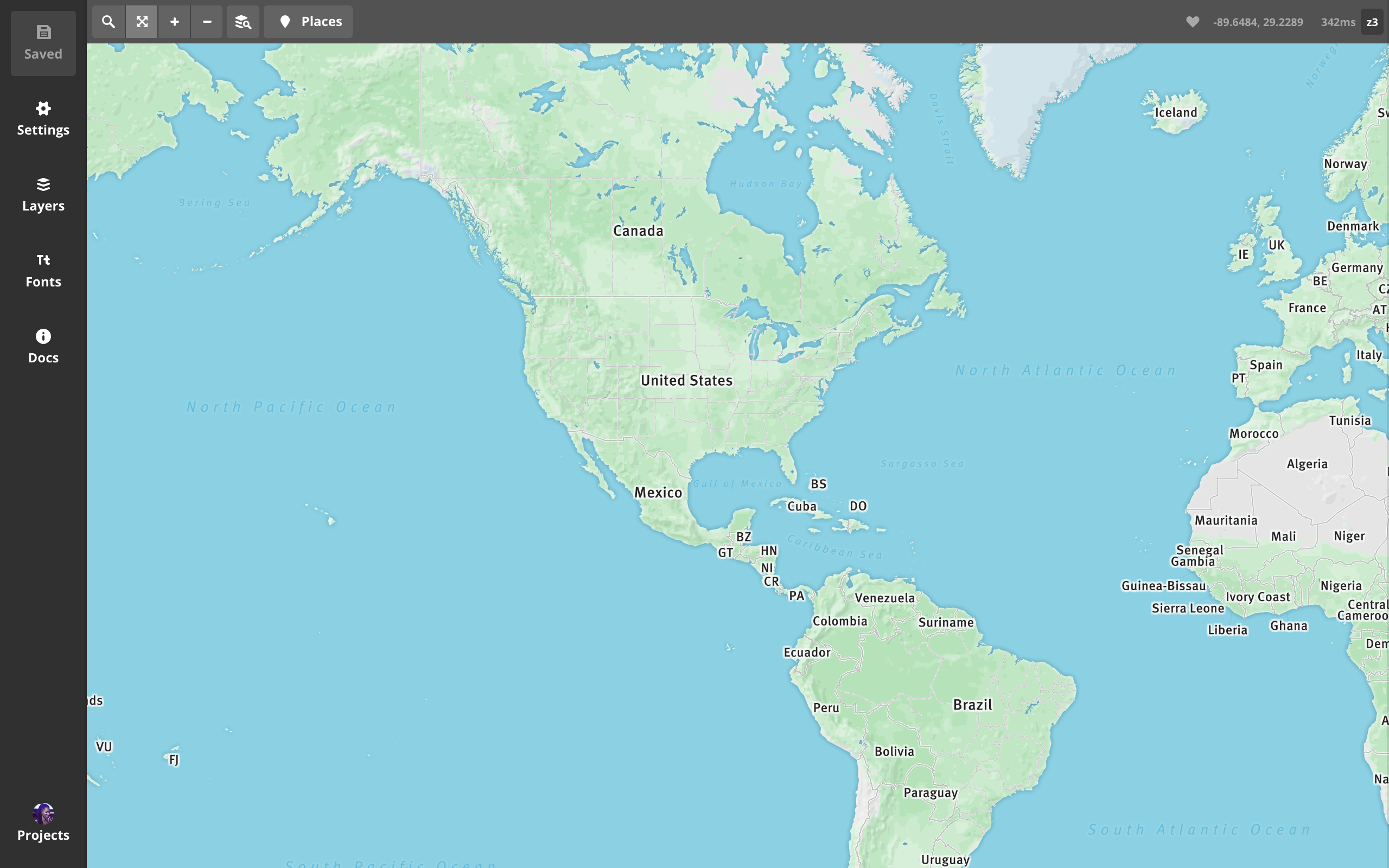
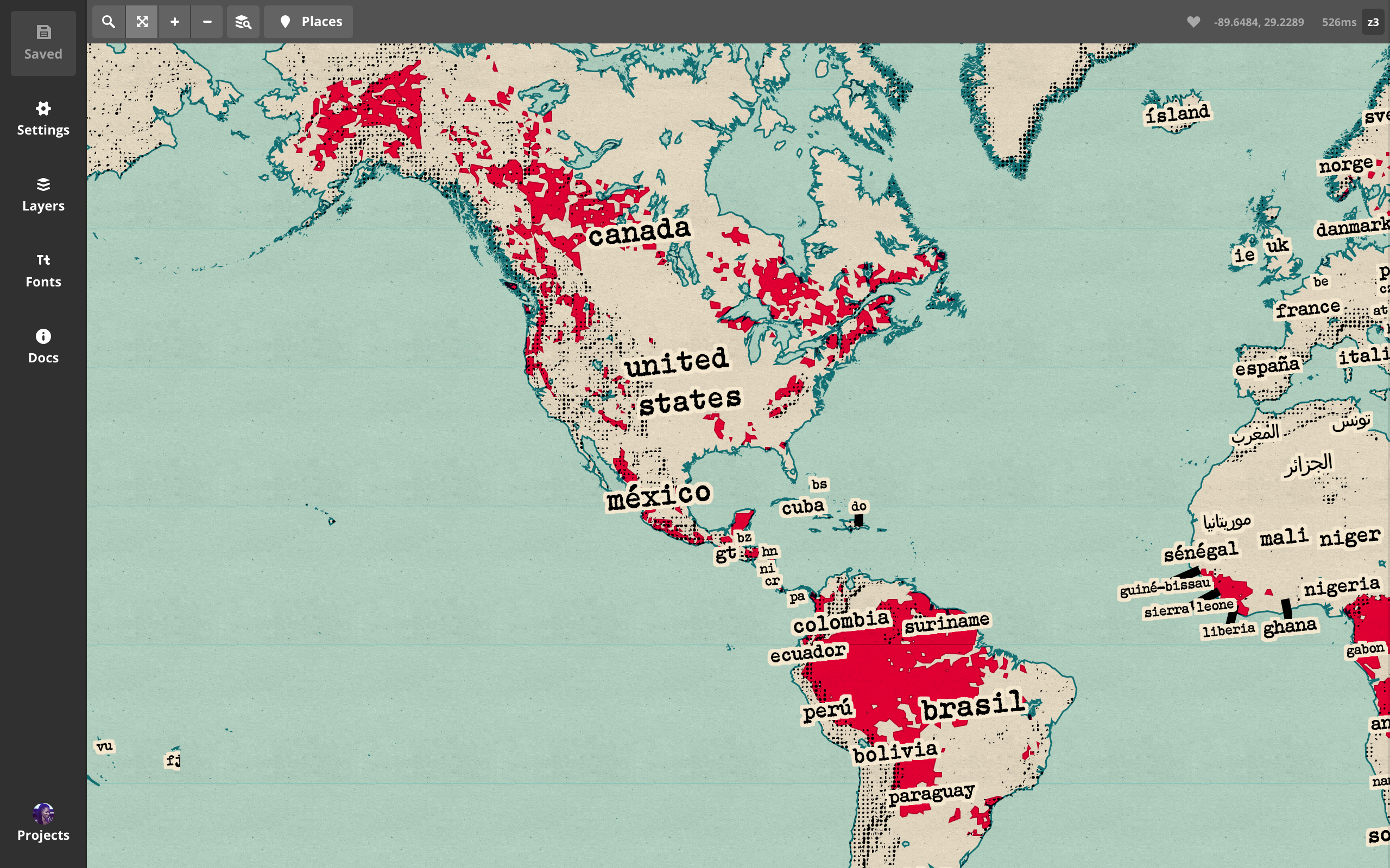
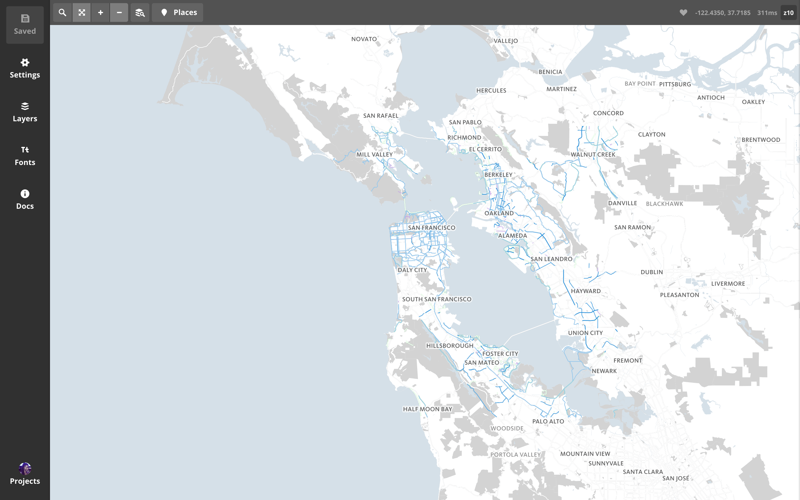
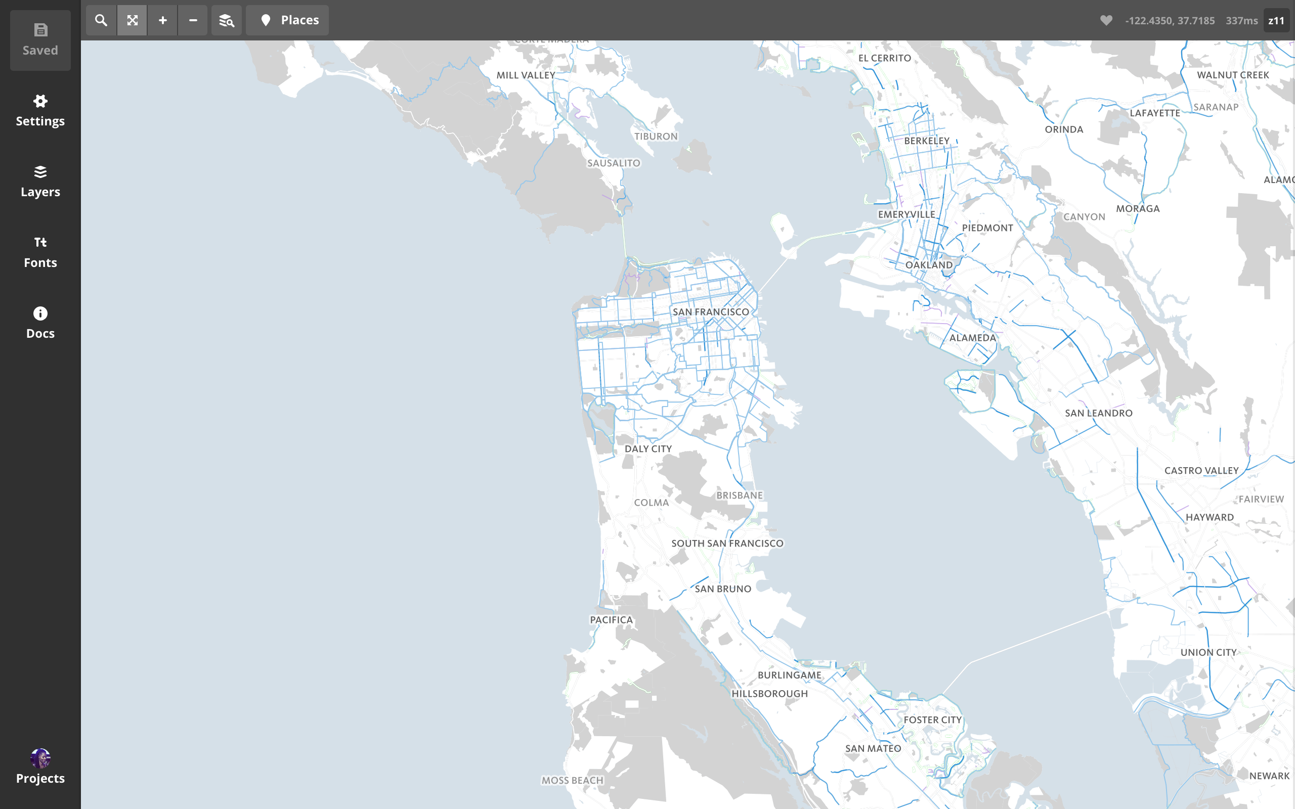
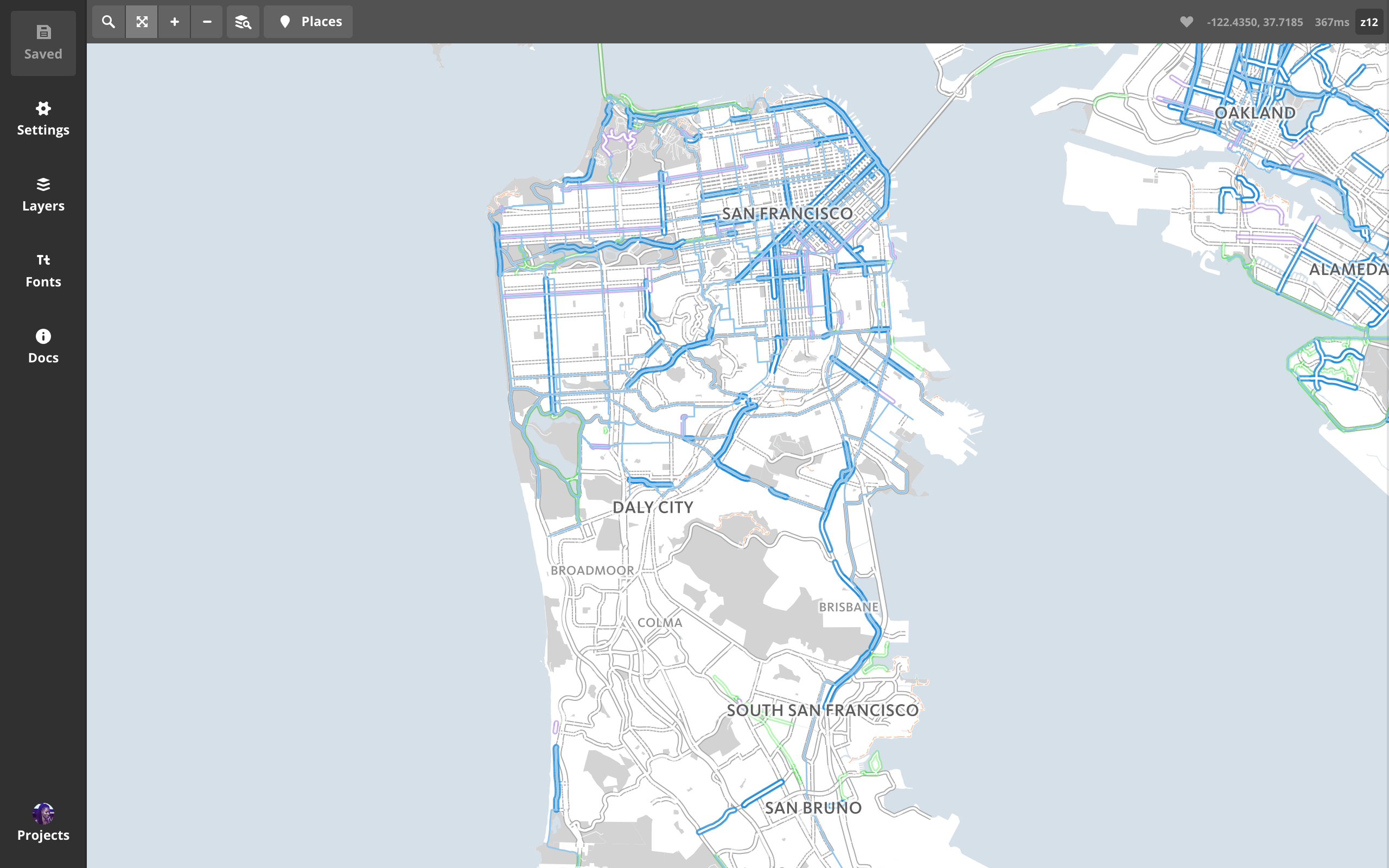
vector tiles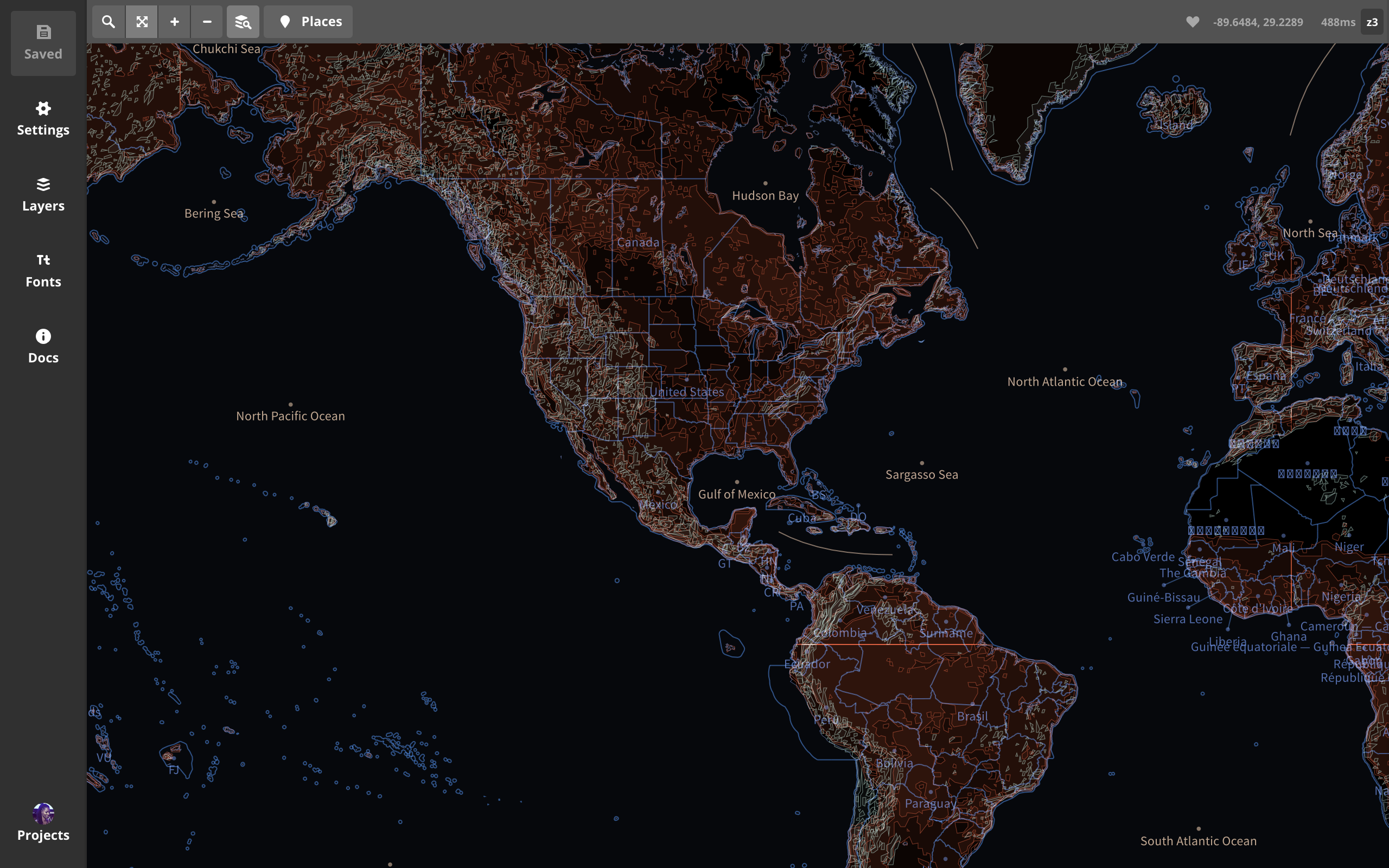
thank you
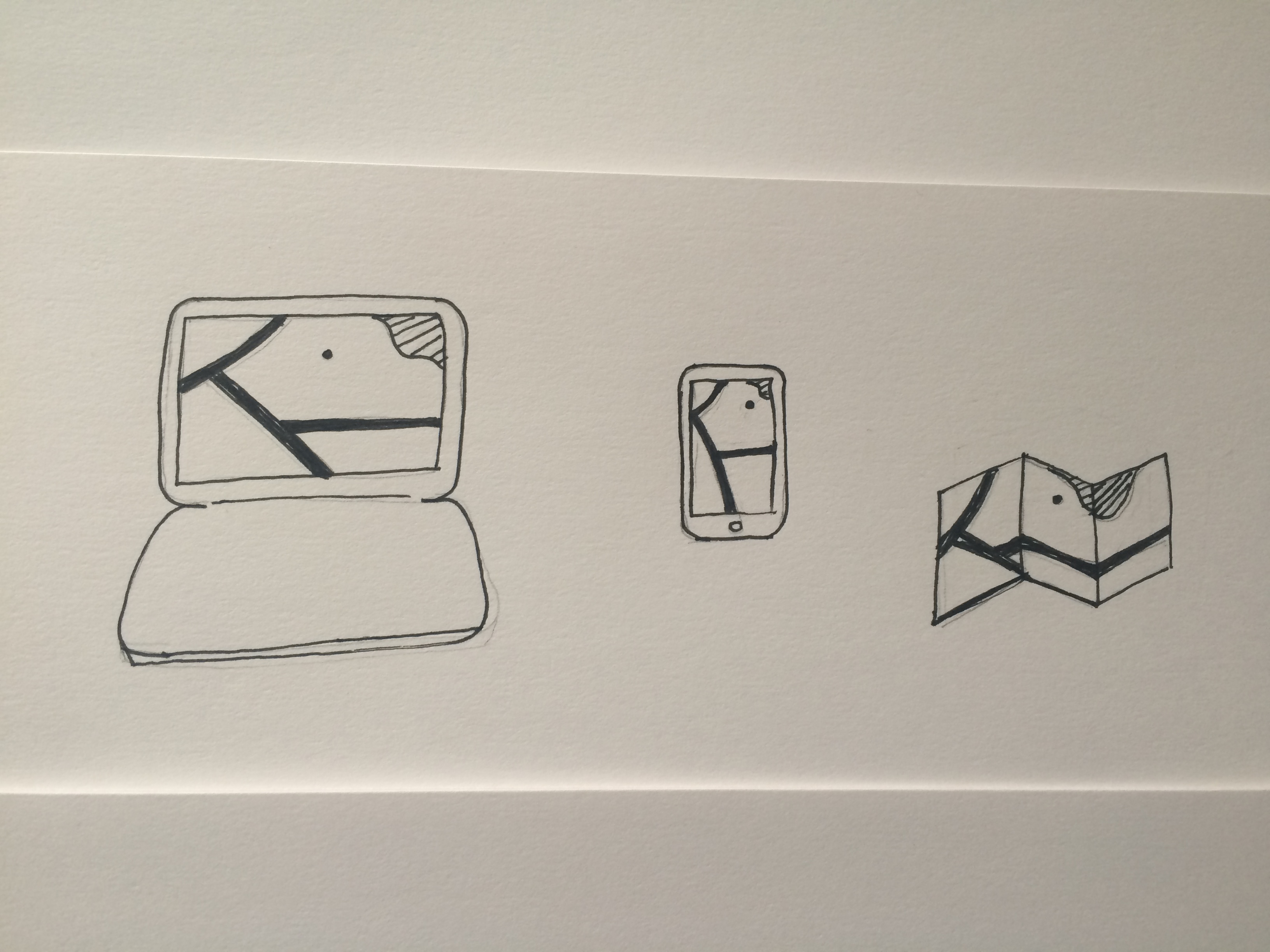
vector tilesone
map
for
all.
faster designing
customize data
demos:
- build & style local VTs
- 4 tips for optimizing VTs
- build & style remote VTs
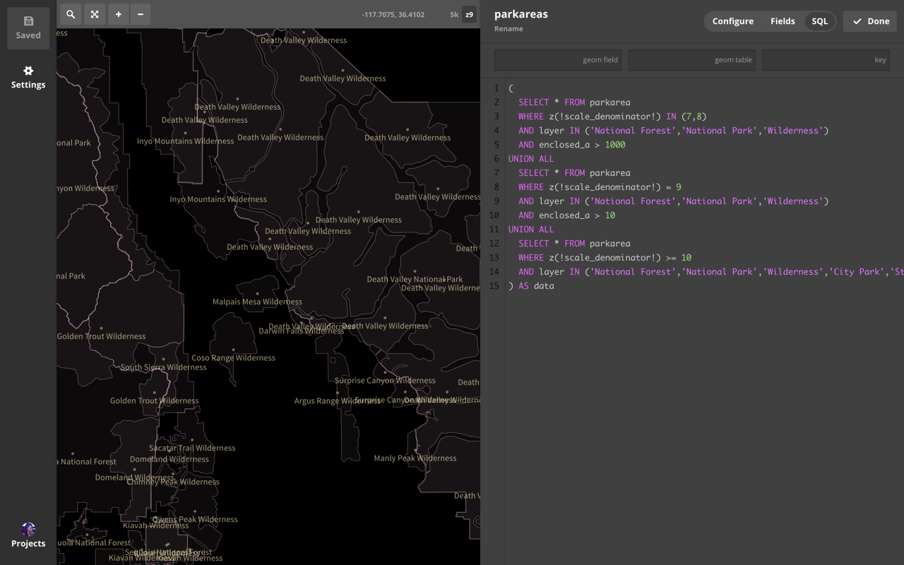
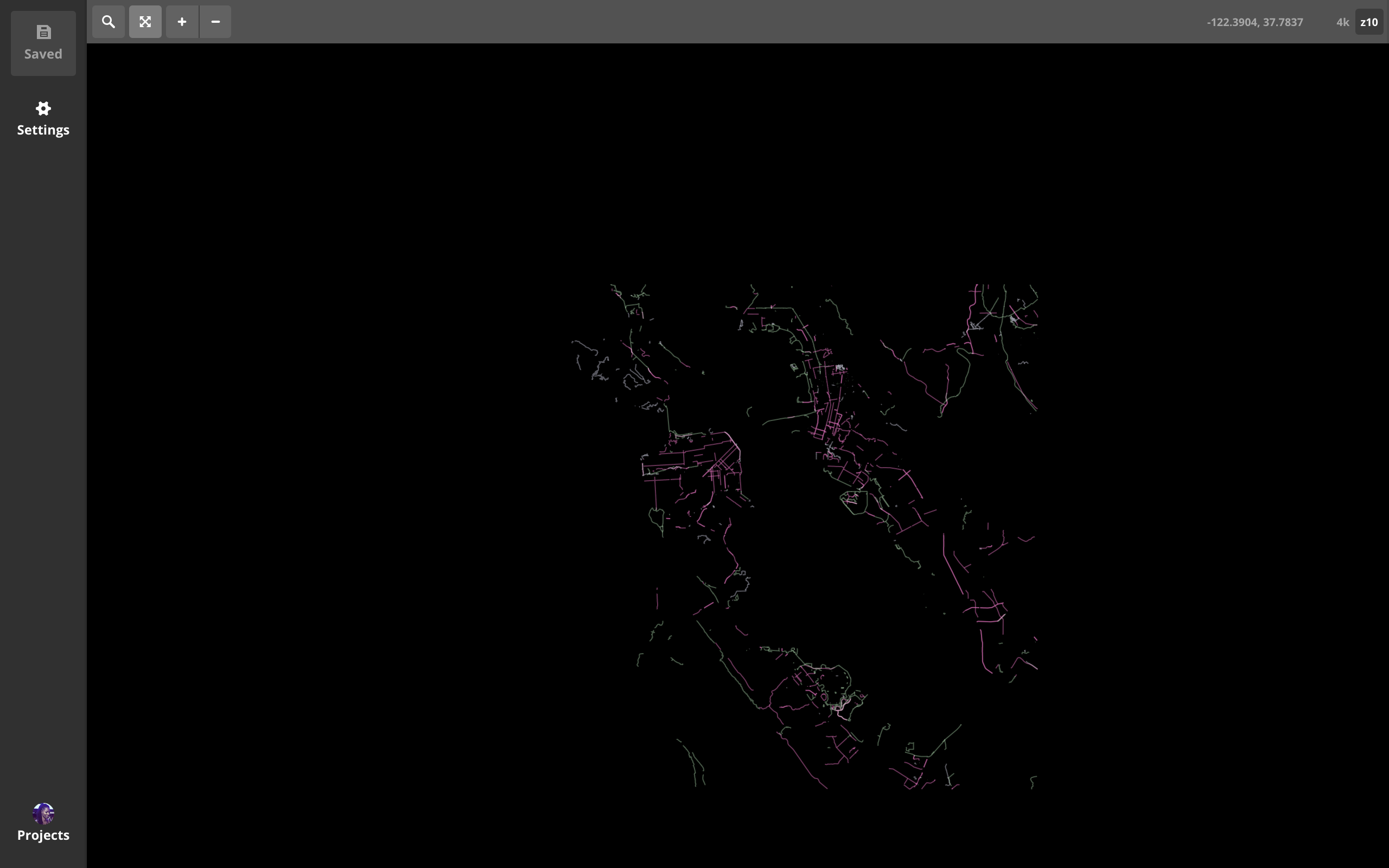
4 tips for optimizing VTs
 1: minzoom
 when to start displaying (& storing data)
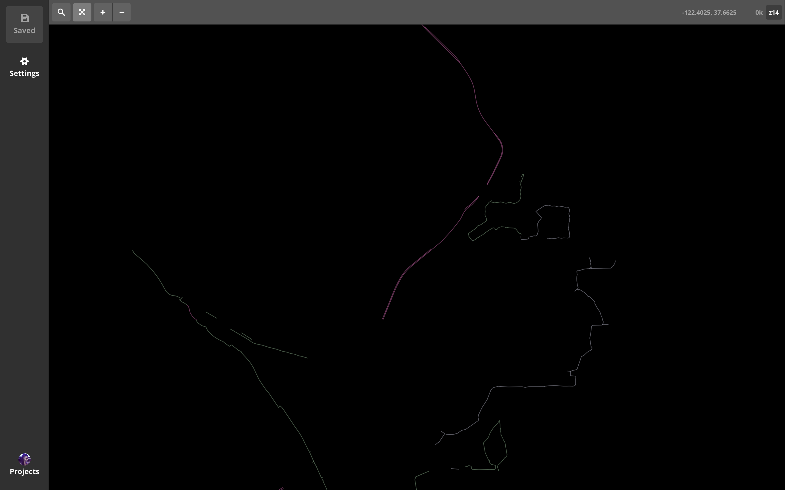
 2: maxzoom
 when to stop storing (but keep displaying) data
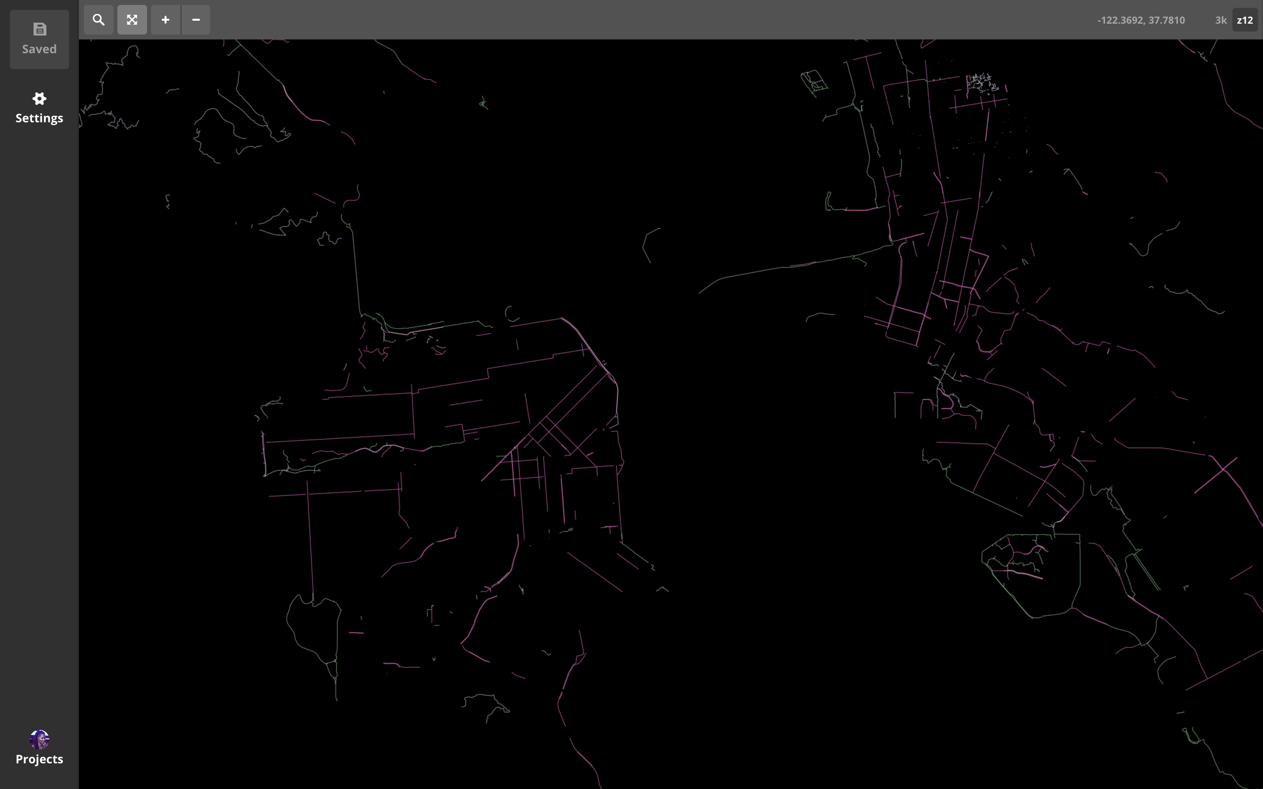
 3: buffers
 amount of data padding per tile
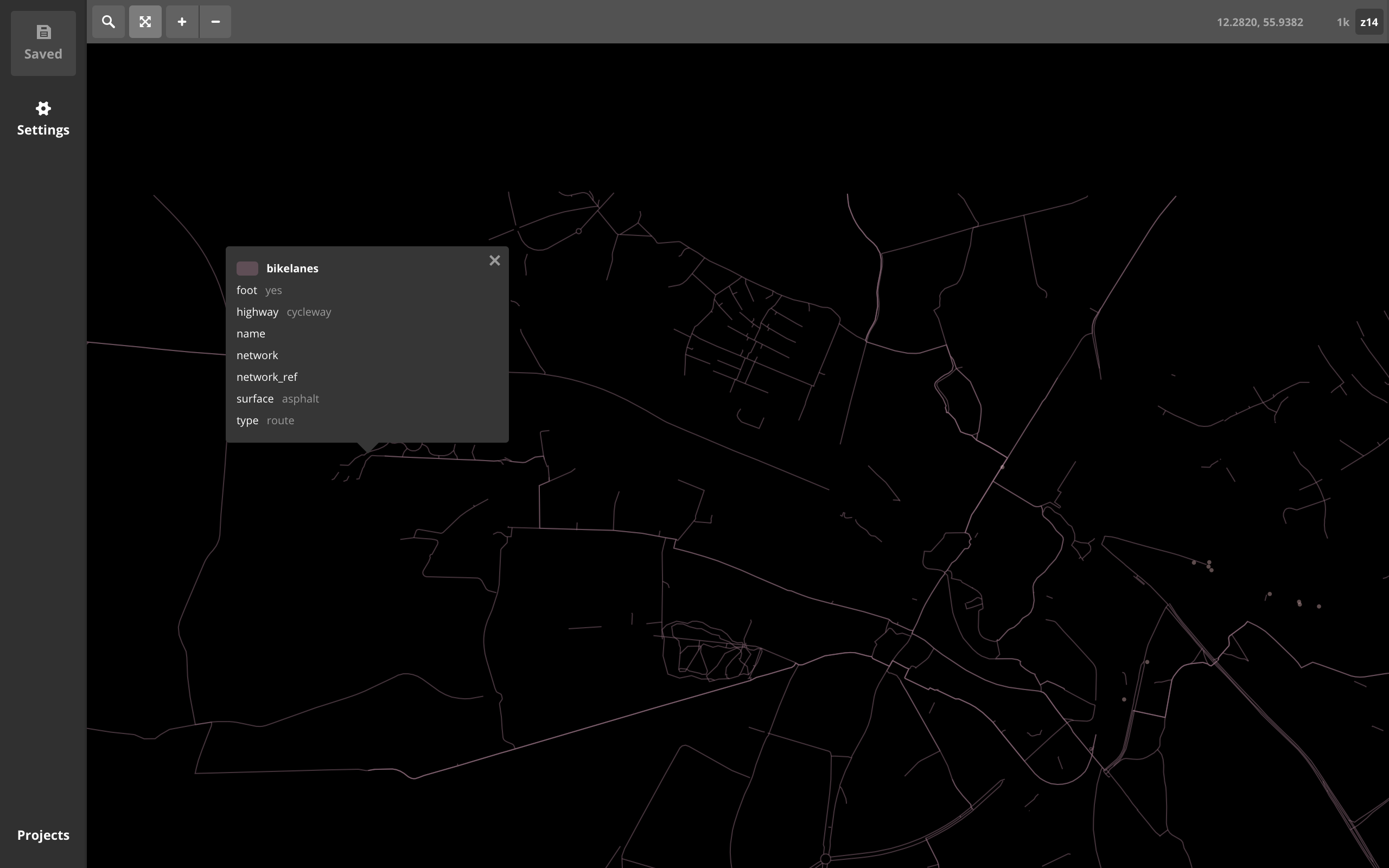
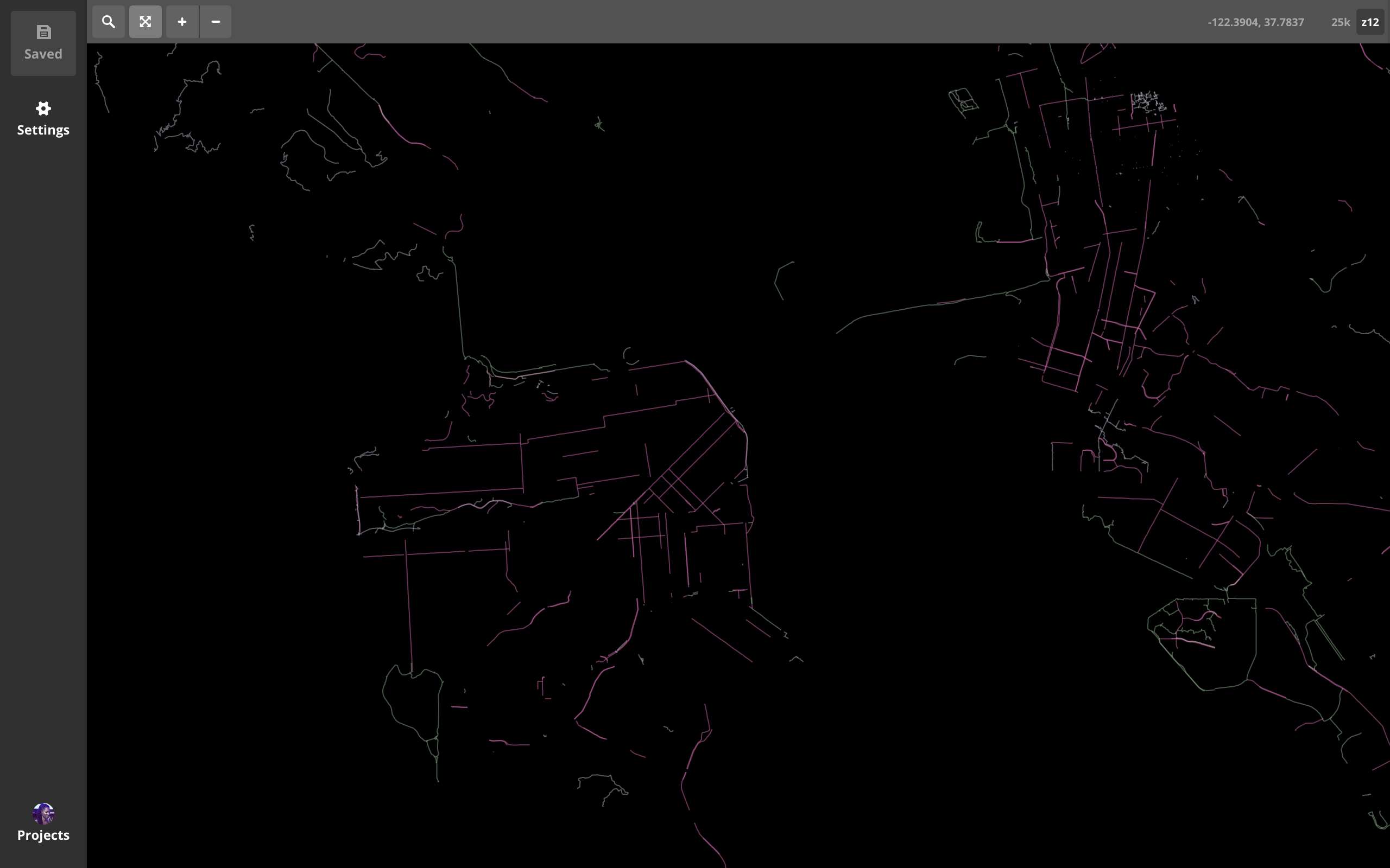
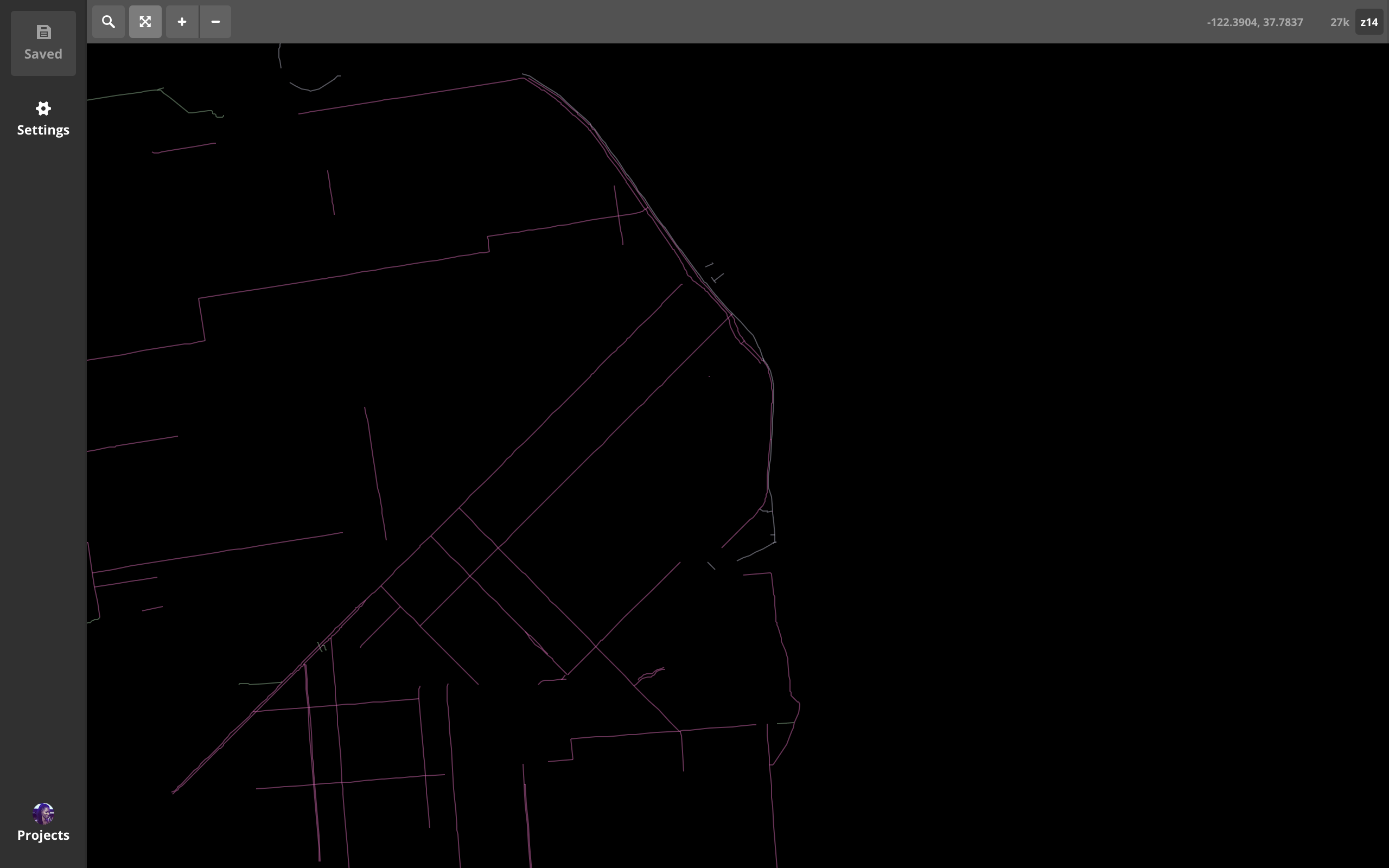
4: what's the geom type?
geom type:
points
1: minzoom
2: maxzoom
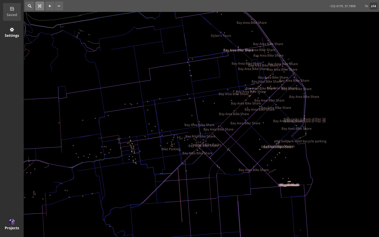
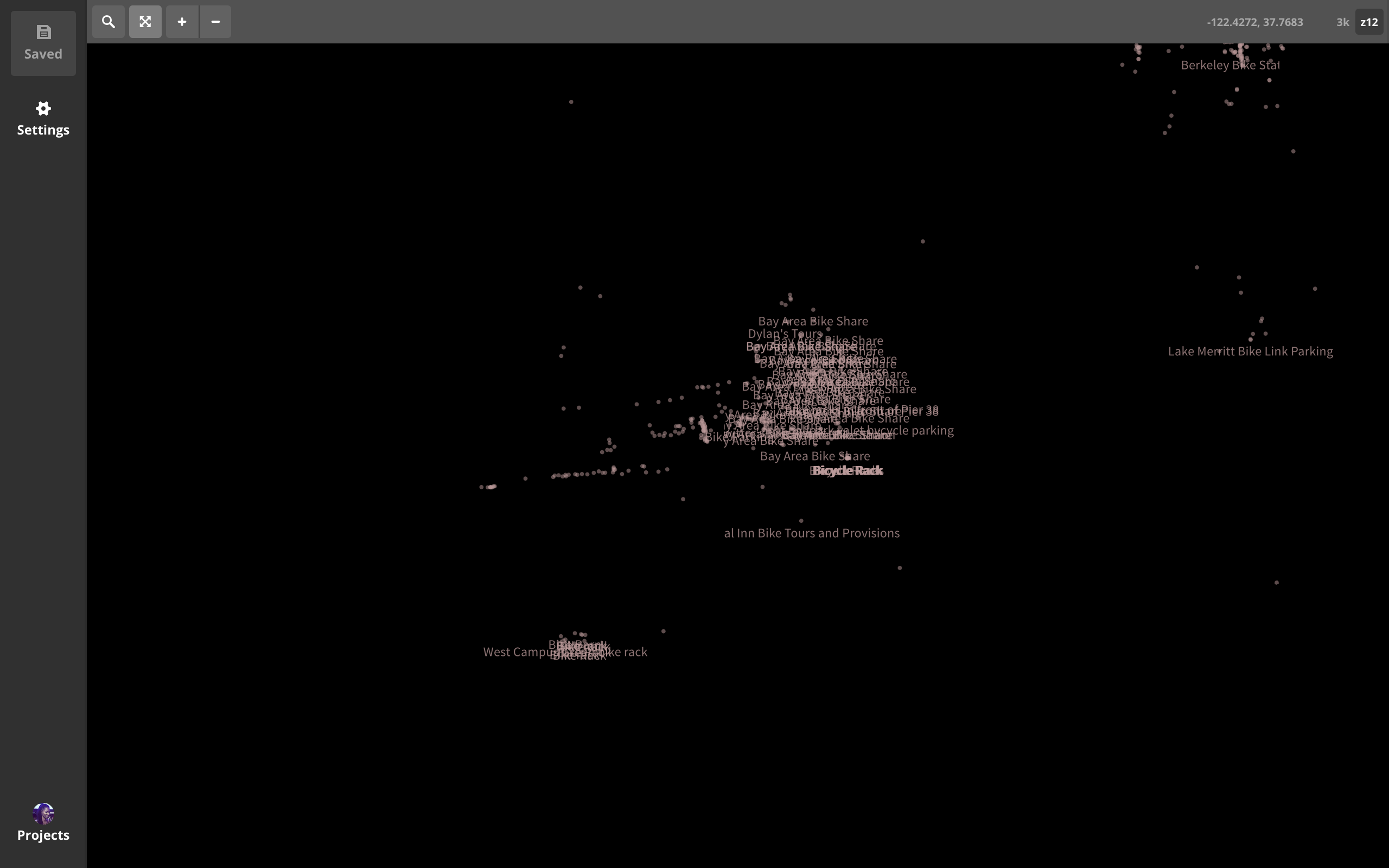
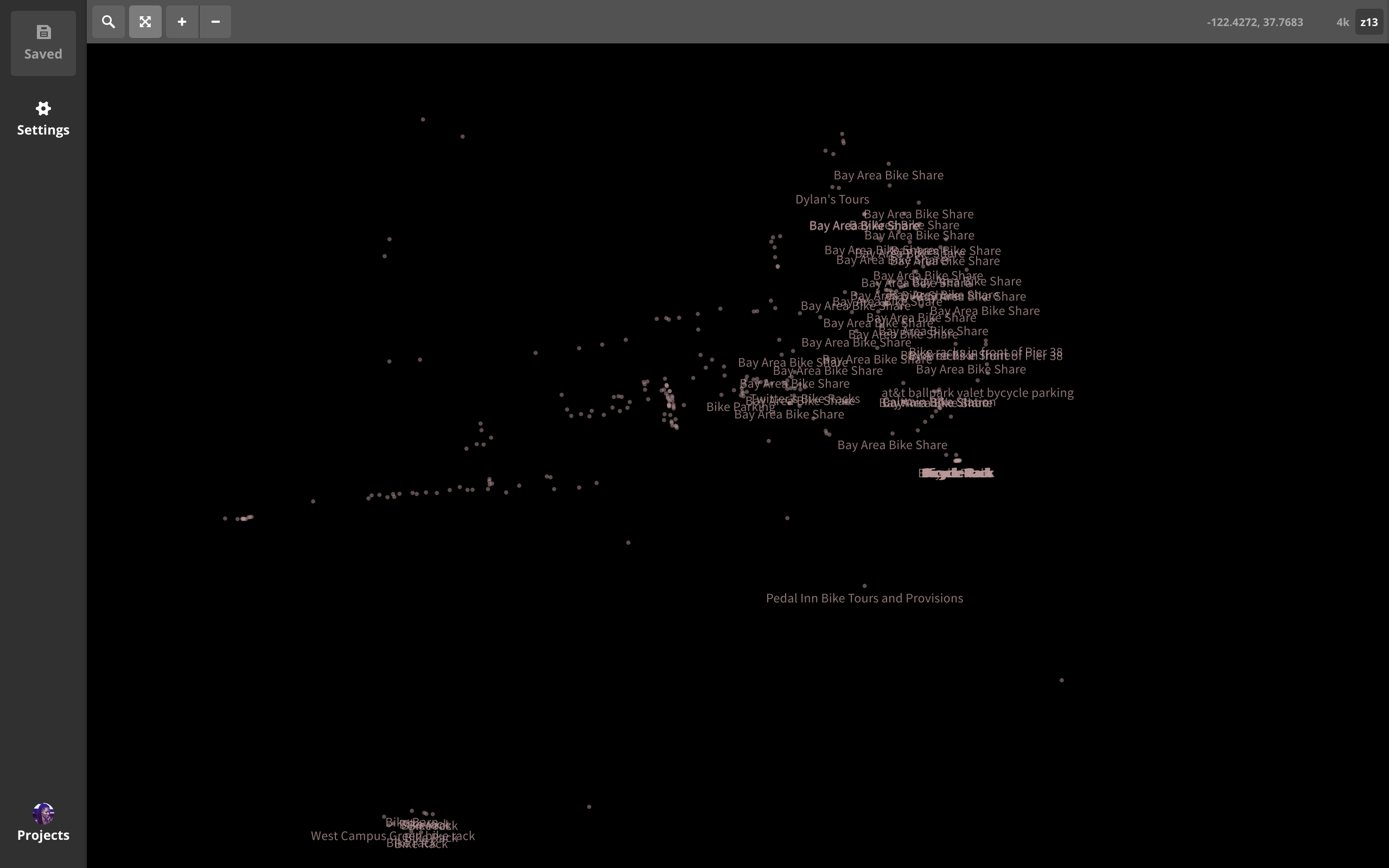
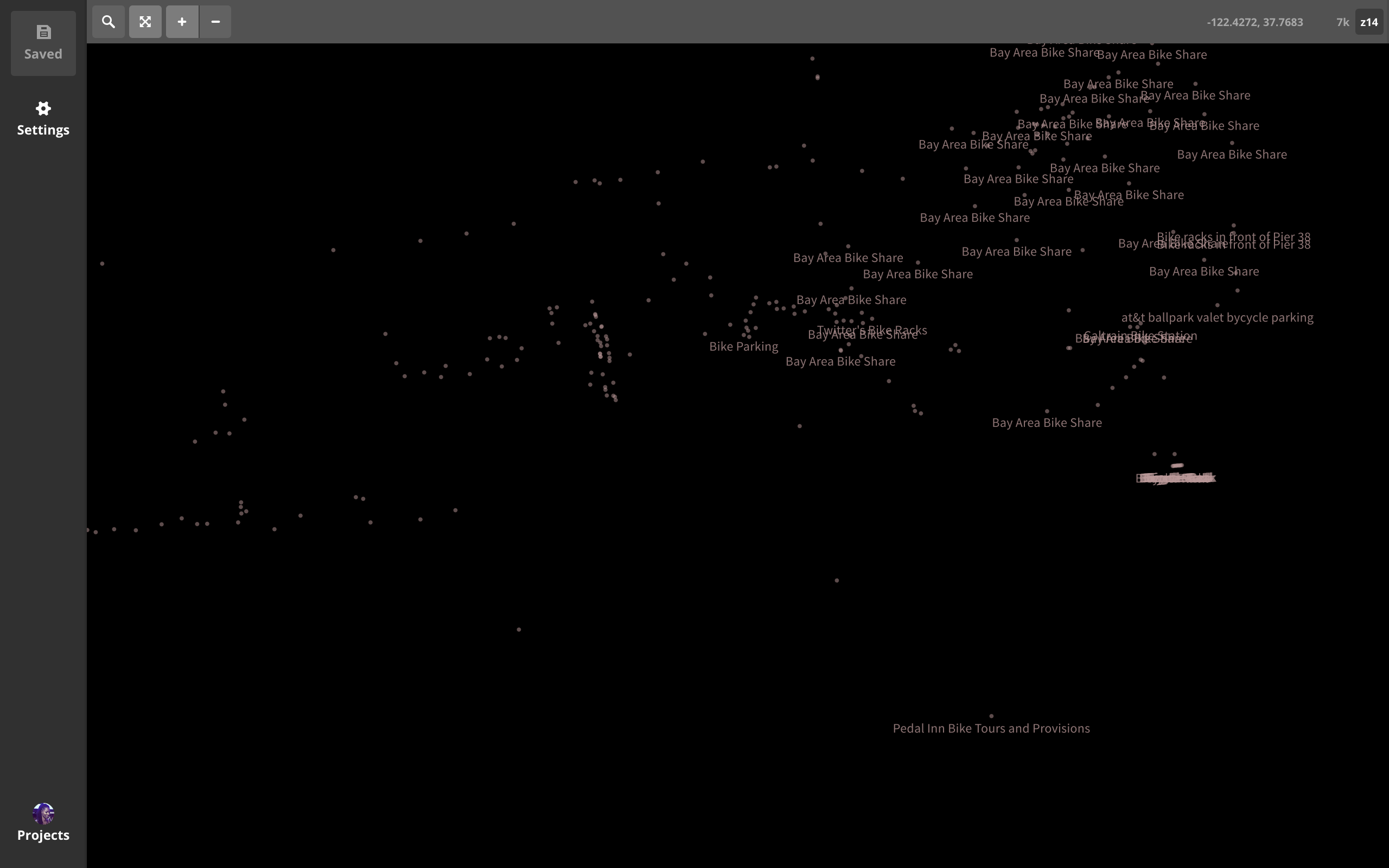
avoid dense data clusers
3: buffers
avoid clipped text on labels
geom type:
lines and polys
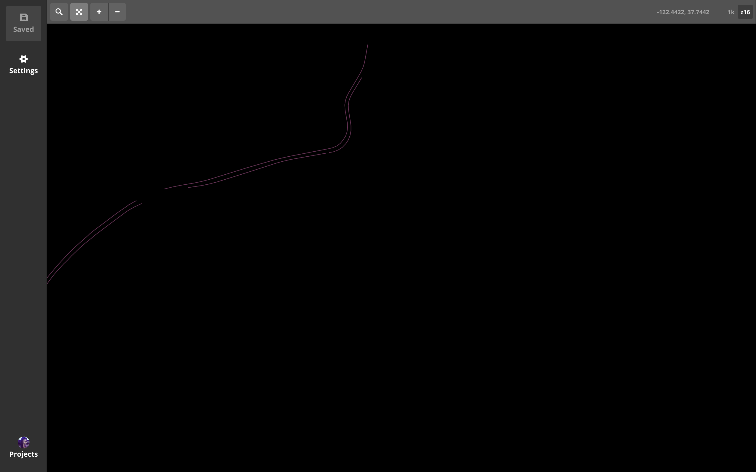
1: minzoom
2: maxzoom
set, then
test by overzoomming
3: buffers
test it
possiblities
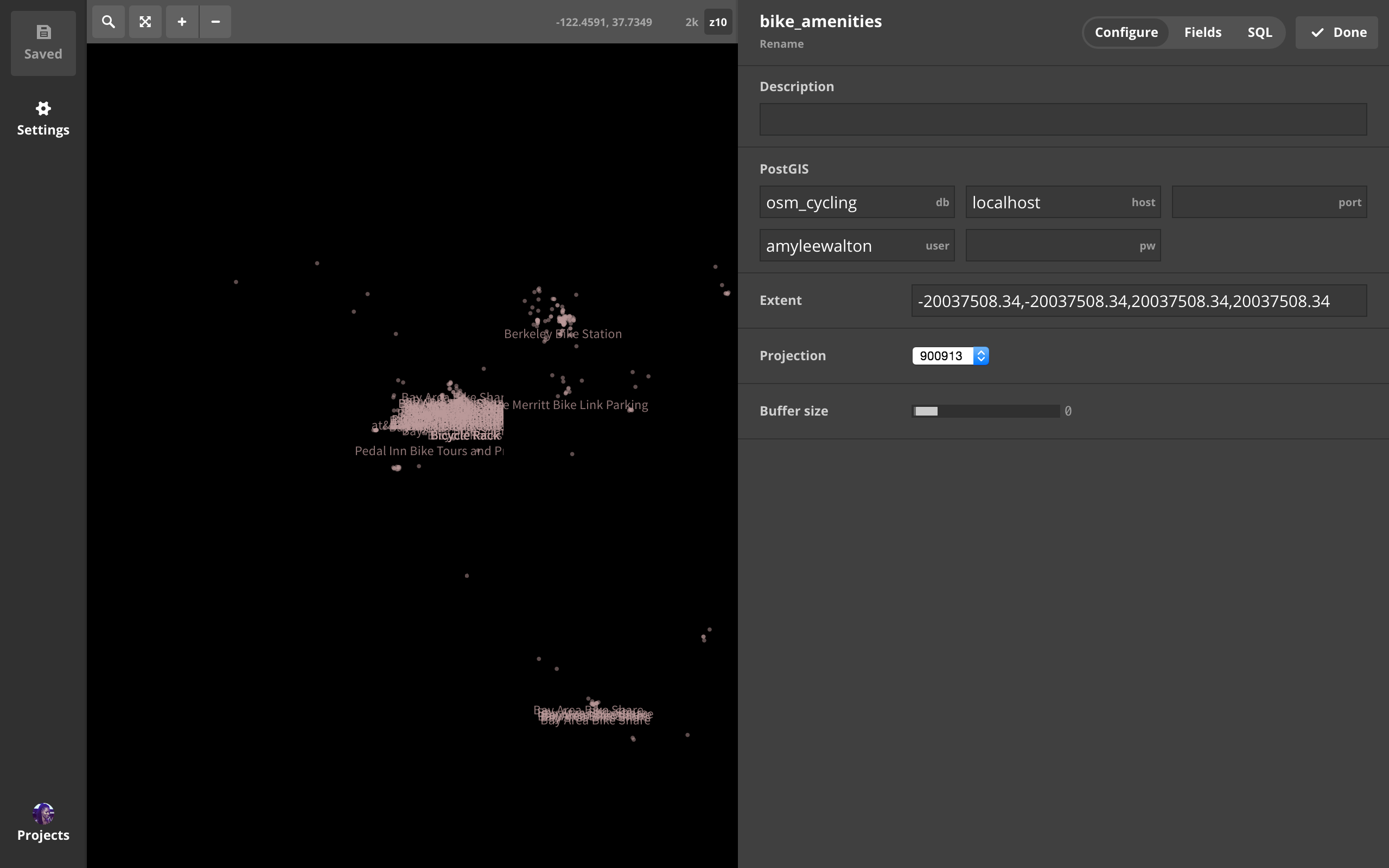
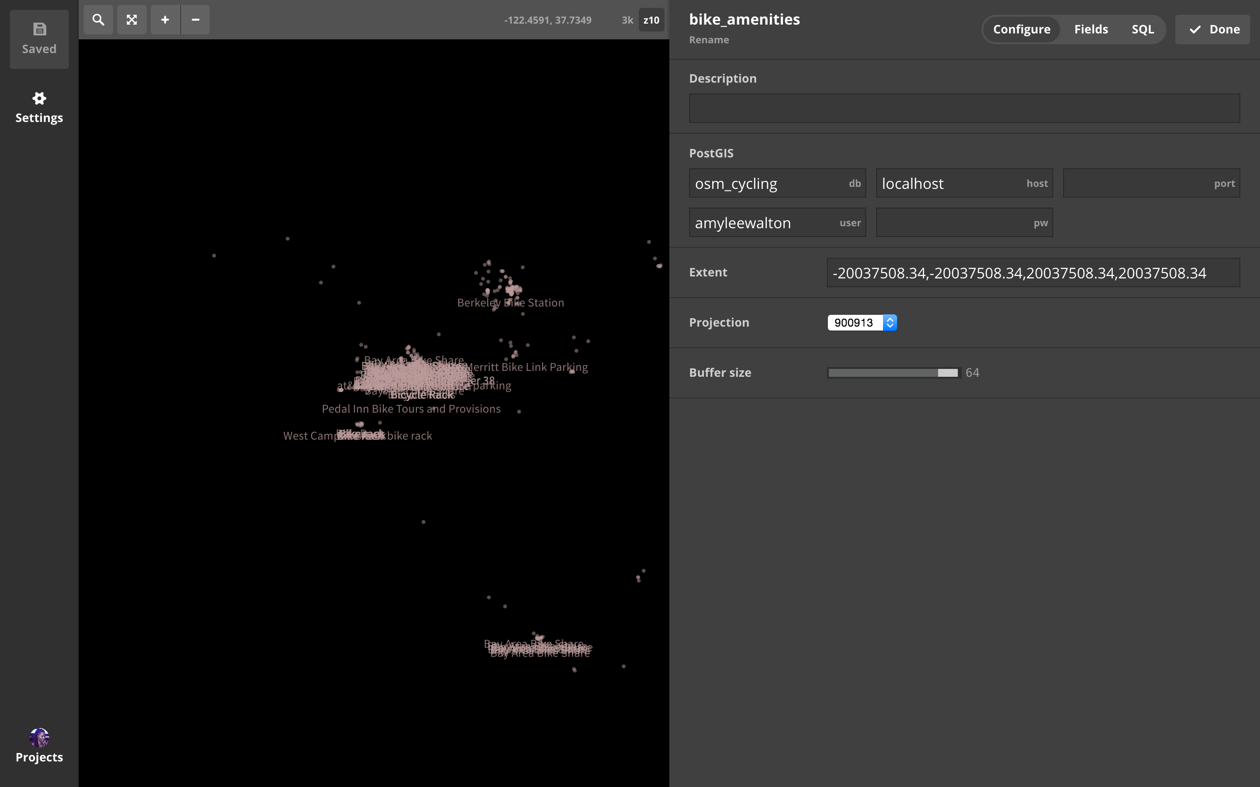
PostGIS + SQL queries
OSM + PostGIS (planet querying)


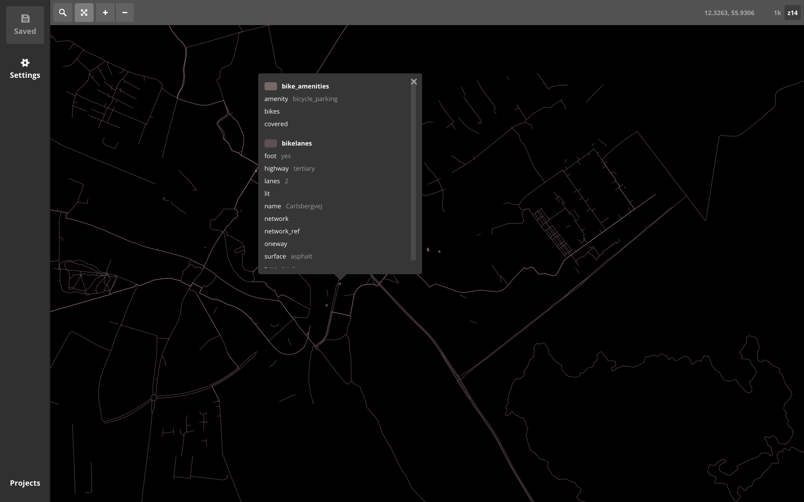
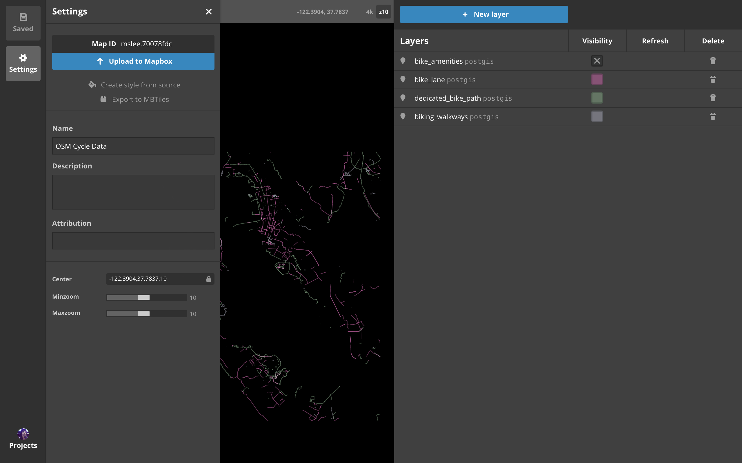
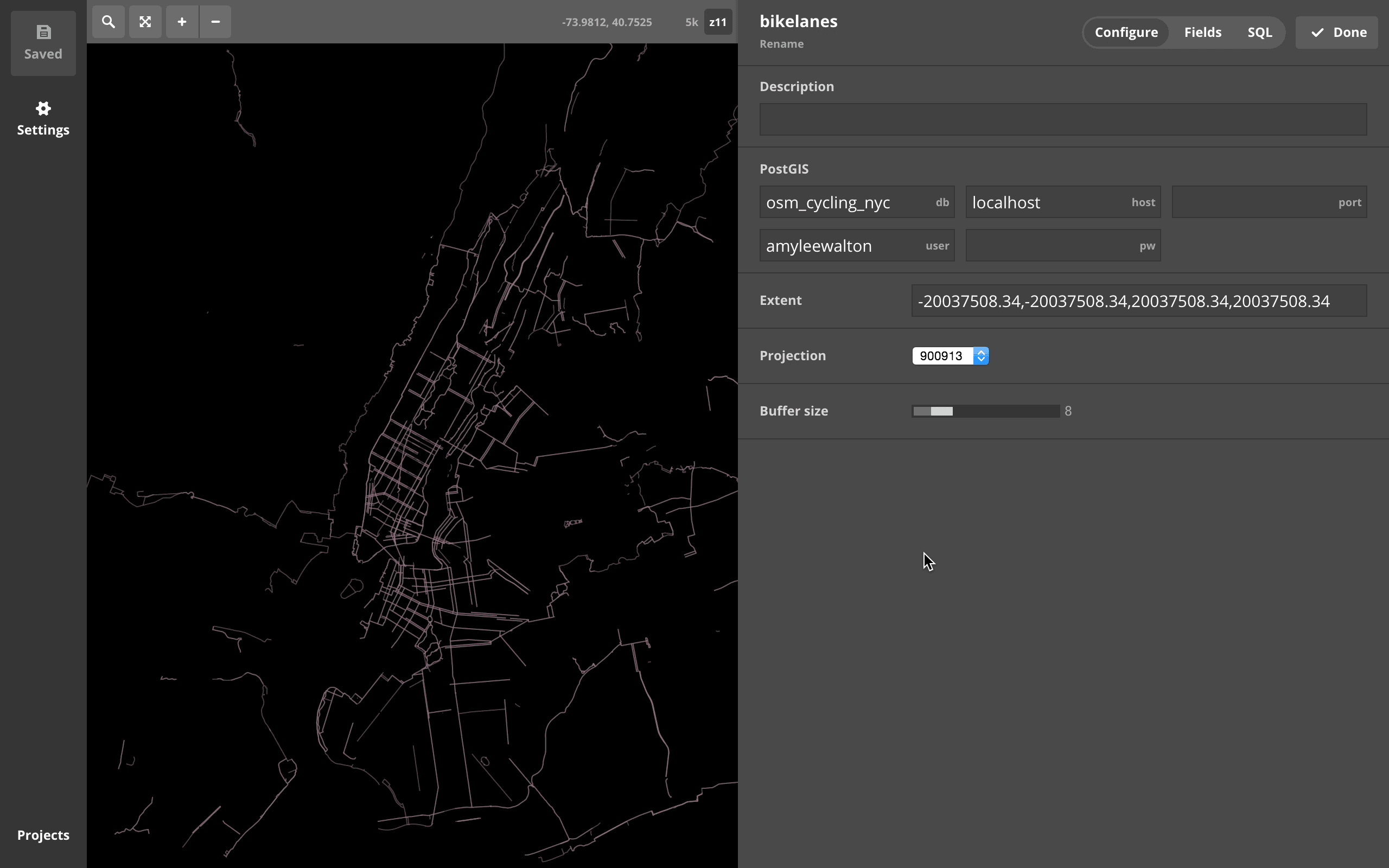
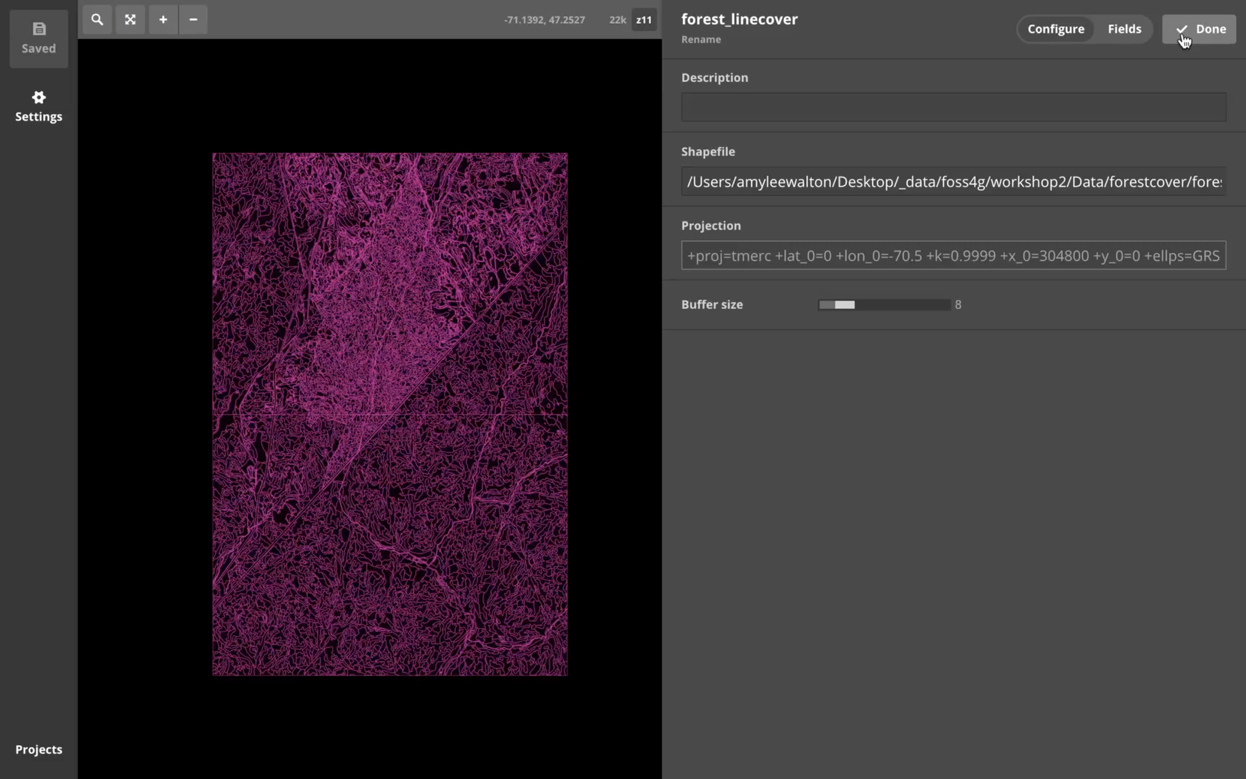
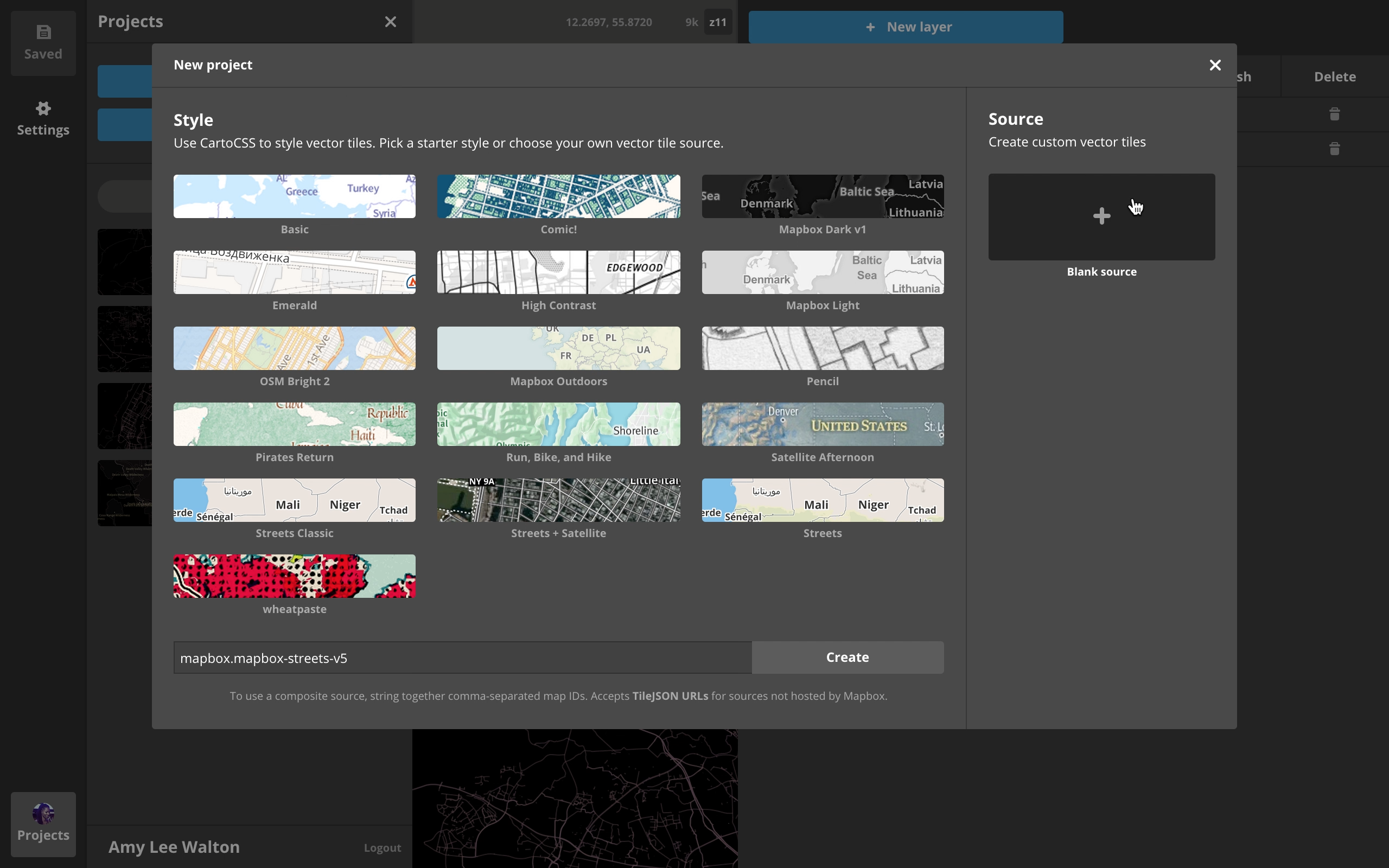 build & style (local) VTs
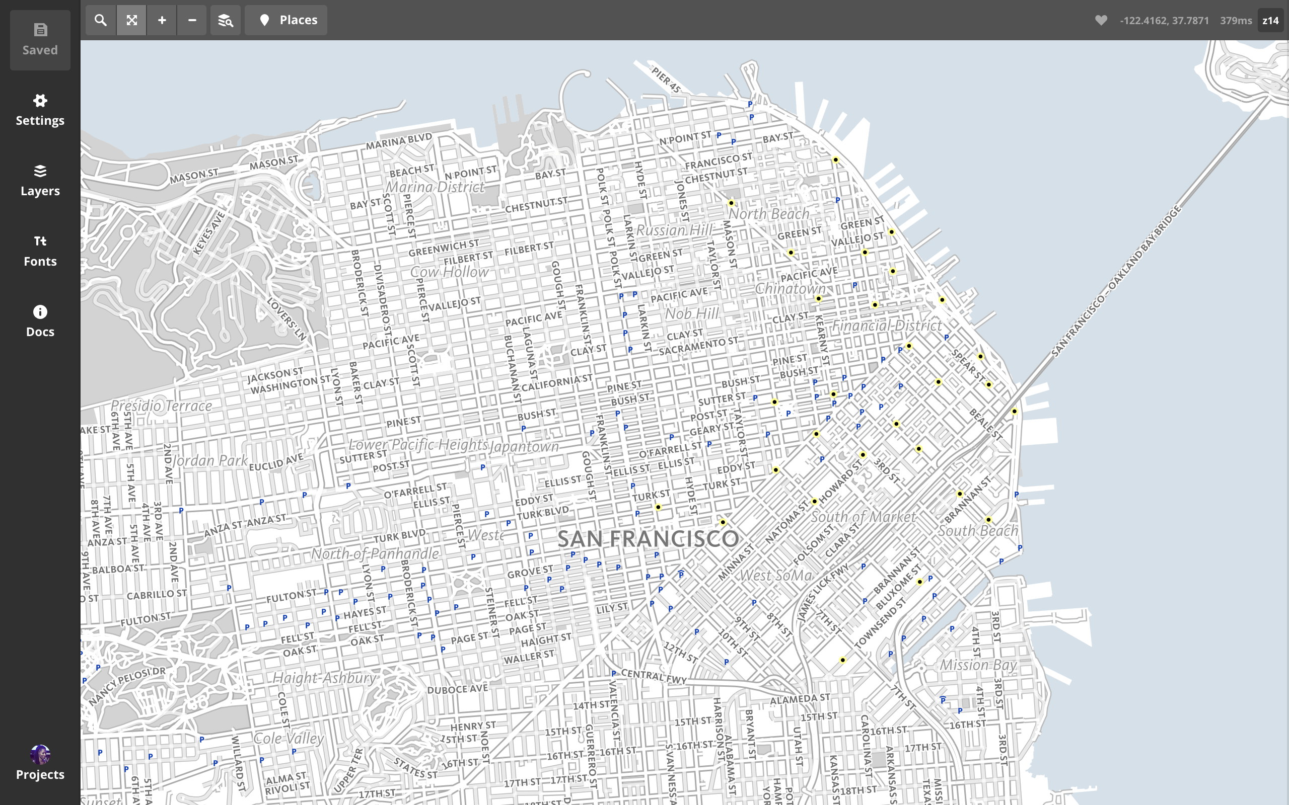
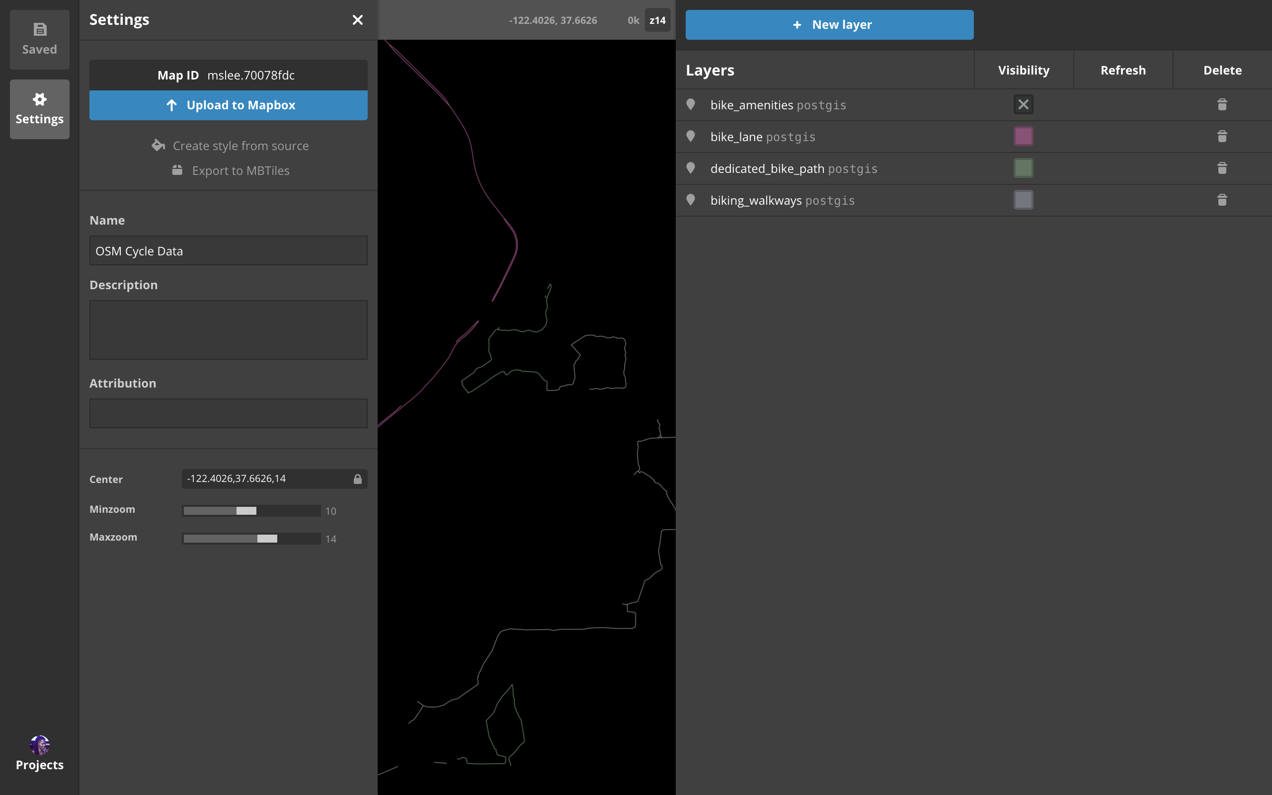
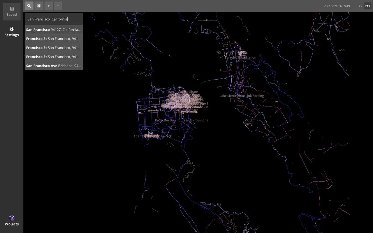
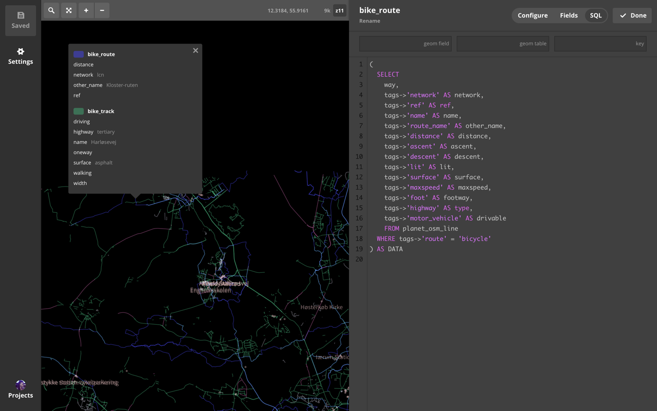
 build & style (remote) VTs
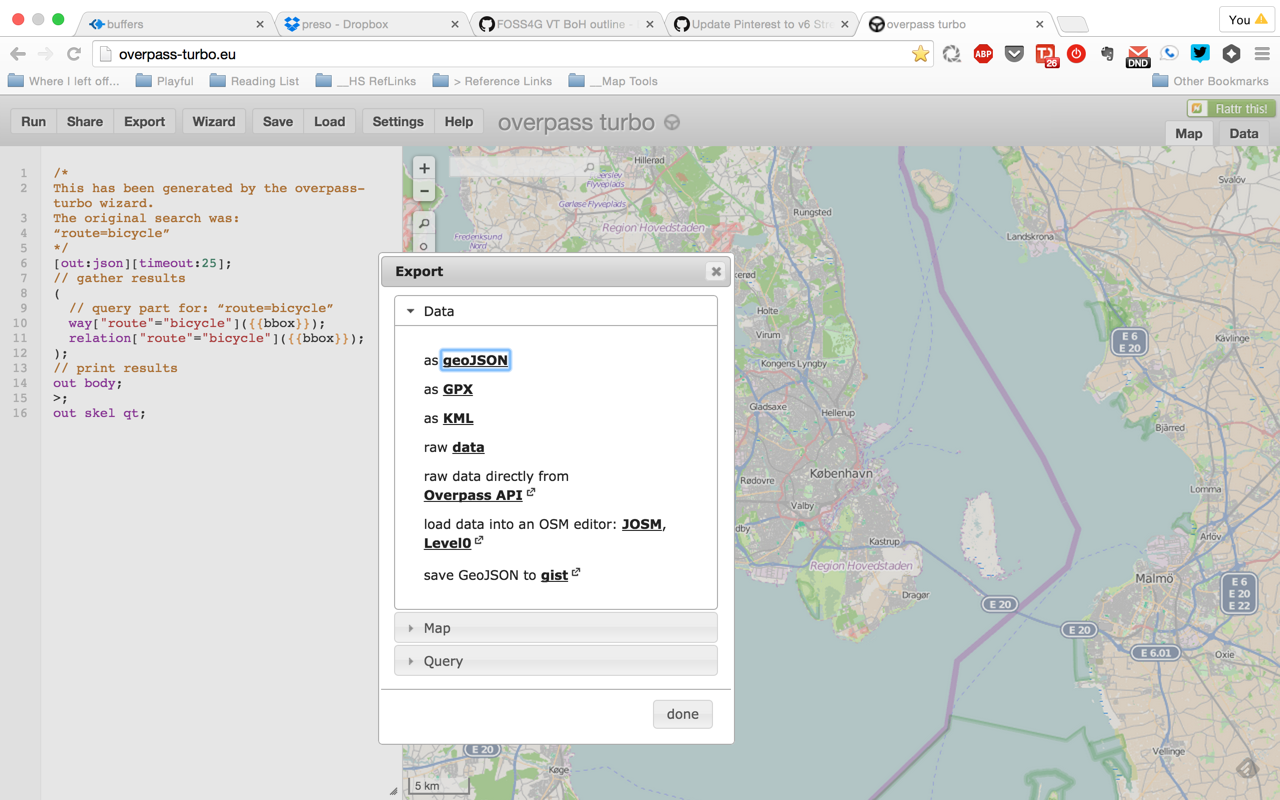 overpass-turbo.eu curate OSM